REC 330 / 357
Vice-Dale County Road 561
Highway VC · Vice City Shown officially
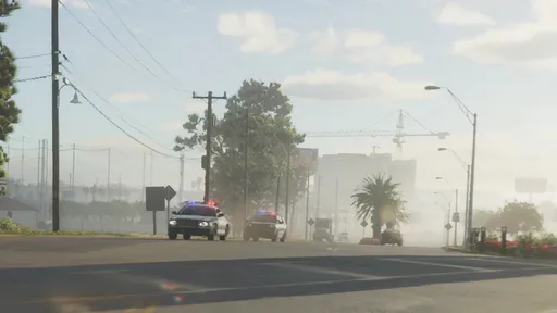
Vice-Dale County Road 561, apparently also signed as Dale County Road 561, is a north-south county highway within Vice City due to appear in Grand Theft Auto VI. Its signage first turned up in an official Vice City screenshot along a La Perle thoroughfare, pointing to connections with Interstate 97 and State Route 10, and a matching northbound sign appears in the first trailer.
Trailer Signage and Destination
A northbound sign in Grand Theft Auto VI’s first trailer, in an area resembling the La Perle location, carries an unidentified county-route shield and directs traffic toward Waning Sands in Leonard County. The shield may represent Vice-Dale County Road 561, but that identification has not been confirmed.
Waning Sands is the only destination associated with the route on the trailer signage. The sign places the possible county-road connection beyond Vice City toward Leonard County.
Florida Roadway Inspiration
Vice-Dale County Road 561 appears to draw from Florida State Road 823. That real route also has an unposted County Road 823 designation and continues north into Broward County.
Leonard County is based on Broward County, making SR 823’s northward continuation the apparent basis for the in-game route’s possible connection from Vice City toward Leonard County.
Media
Vice-Dale County Road 561 on the GTA Wiki


Location data via GTA Wiki (Fandom), CC BY-SA 3.0. Summary text is our own editorial writing.